


Le Vanneau 2012

olaze
Gebruiker
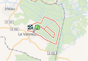

Lengte
8,6 km

Max. hoogte
16 m

Positief hoogteverschil
43 m
Km-Effort
9,2 km

Min. hoogte
1 m

Negatief hoogteverschil
43 m
Boucle
Ja
Datum van aanmaak :
2014-12-10 00:00:00.0
Laatste wijziging :
2014-12-10 00:00:00.0
2h09
Moeilijkheid : Gemakkelijk

Gratisgps-wandelapplicatie
 SityTrail
IGN / Geografische instituten
SityTrail Plus
De wereld gaat voor u open
Over ons
Tocht Stappen van 8,6 km beschikbaar op Nieuw-Aquitanië, Deux-Sèvres, Le Vanneau-Irleau. Deze tocht wordt voorgesteld door olaze.
Beschrijving
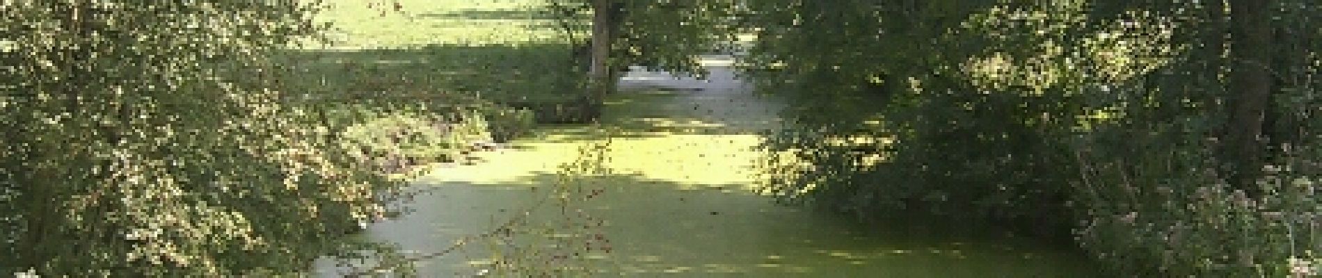
Promenade dans le marais autour du Vanneau-Irleau.Club rando Bessines 2012
Foto's


Plaatsbepaling
Land:
France
Regio :
Nieuw-Aquitanië
Departement/Provincie :
Deux-Sèvres
Gemeente :
Le Vanneau-Irleau
Locatie:
Unknown
Vertrek:(Dec)
Vertrek:(UTM)
682339 ; 5129669 (30T) N.
Opmerkingen